Field mapping made simple
Less configuring. More discovering.
Capture points, areas and routes the moment you open the app. No GIS knowledge, complicated configuration or training required.
No account required · Works offline · Start in seconds
What you can do
Capture locations
Record GPS points, areas and routes directly on the map
Team collaboration
Invite surveyors via link. Each member uses their own named profile
Export data
Download your data as GeoJSON, Shapefile, or CSV for use in any GIS tool or spreadsheet
How it works
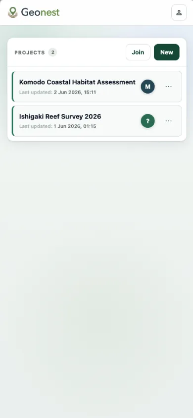
Create a project
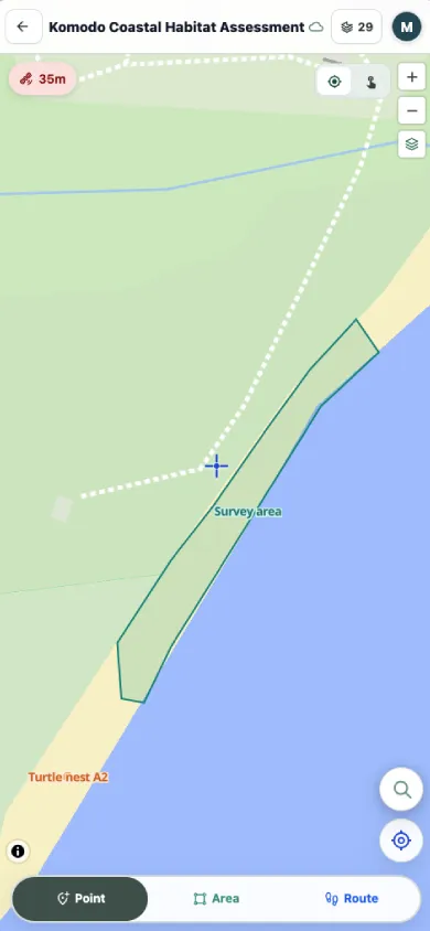
Capture on the map
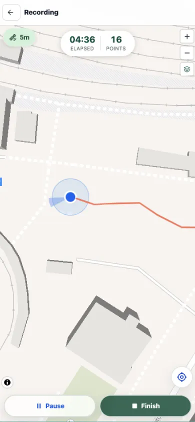
Record a route
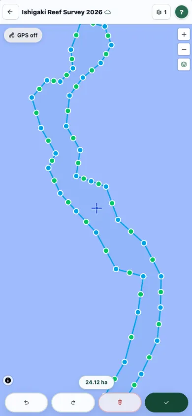
Edit geometry
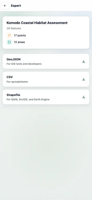
Export your data
Used for
Agriculture
Field boundary mapping, paddock surveys, crop monitoring
Environmental
Habitat assessments, land condition surveys
Construction
Site surveys, infrastructure mapping
Research
Fieldwork data collection, spatial sampling
Get started
Works on Android and web. No account required.